Carly Philpott
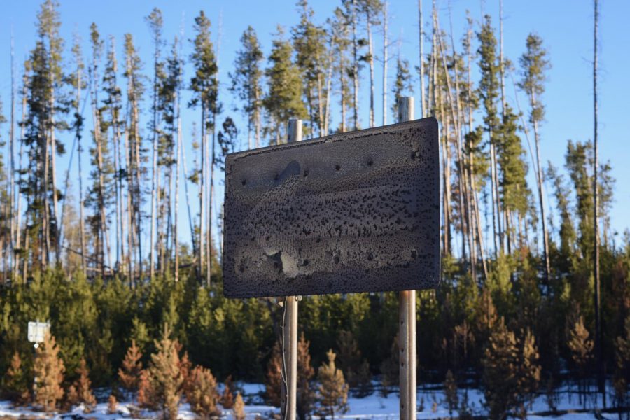
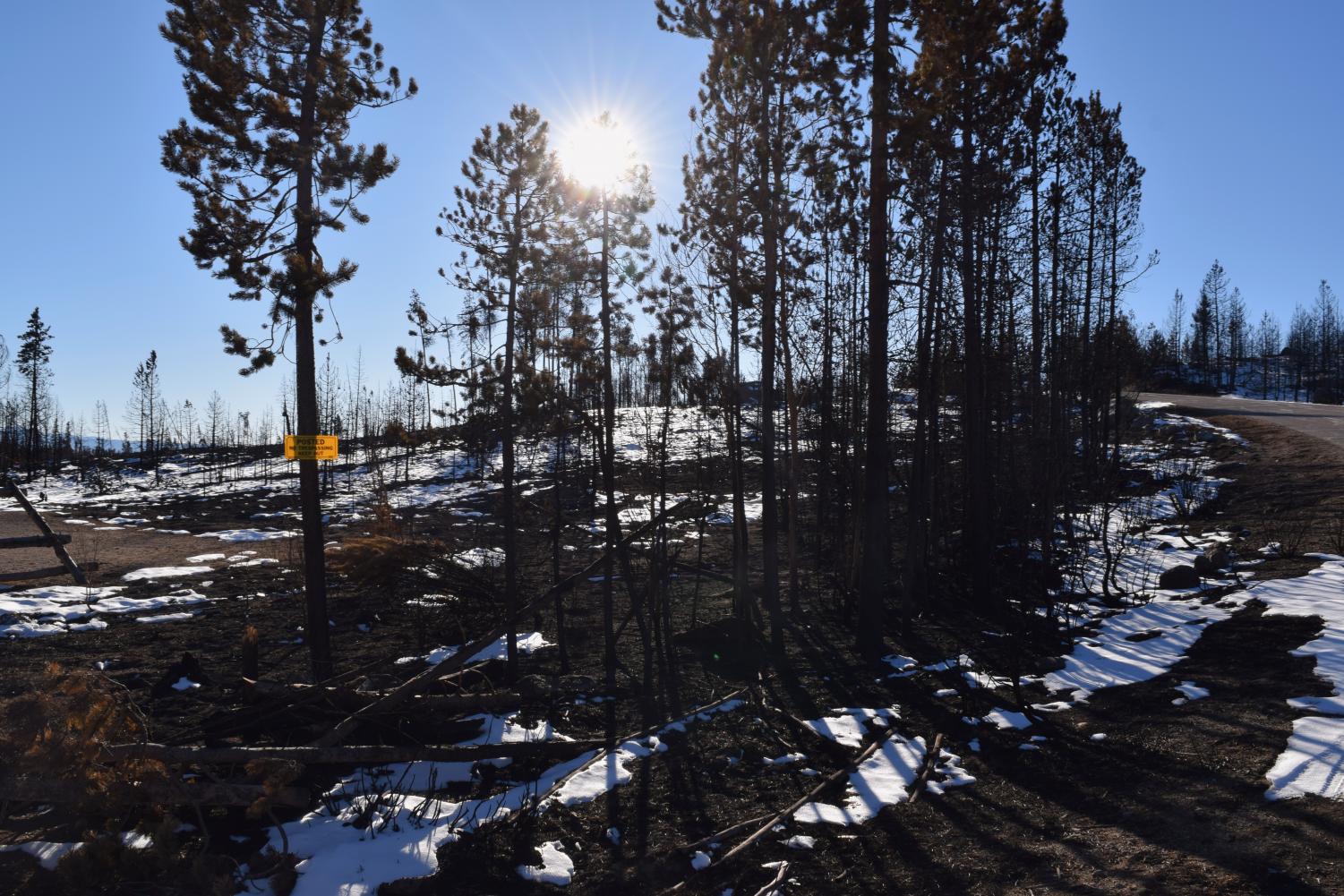
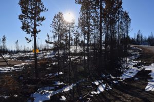
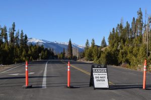
Beyond Recognition: a road sign just within Rocky Mountain National Park near Grand Lake stands burned only a few yards from where the fire was stopped by firefighters. The Grand Lake entrances to Rocky Mountain National Park were closed, as well as Kawuneeche Visitor Center. A smaller park road remained open with access to employee residences (which had mostly been saved from the fire), a singed picnic ground along the Green Mountain Trail, which was virtually gone, and some residences just outside the park. The fire burned both sides of this smaller road. The sign stands on the edge of a wetland that was also completely destroyed. (Green Mountain Trail, near Trail Ridge Road)
Carly Philpott, News Editor
December 7, 2020
It’s been two months since the East Troublesome Wildfire first sparked in the Arapaho National Forest. Within nine days, the fire had grown by over 85,000 acres and would go on to top 190,000 acres, destroying nearly 600 structures and killing two people over the next month and a half.
As Colorado sinks further into drought, our fires are getting worse and worse. For many, this means the very land they live on is becoming near-inhabitable. In the past, fire season has typically lasted from mid-summer to the first big snow in October. But now, fire season appears to be growing.
The Cameron Peak Fire, located located on the northern end of Rocky Mountain National Park, survived two major snows this fall, continuing to grow well into October and not being fully contained until early November. Meanwhile, the East Troublesome Fire, located along the southern end of Rocky Mountain National Park and down to Granby, began in October, after fire season should’ve been over, and then quickly grew to be the second biggest wildfire in Colorado history, surviving cold temperatures and one major snow.
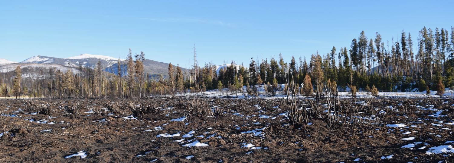
The East Troublesome Fire was so powerful that it burned through wetlands and groves of aspen trees, which usually remain relatively untouched by wildfires. The fire was mostly a forest fire, but as it moved south, it became a brush fire, singeing the hills above Granby.
The fire has been 100 percent contained as of Nov. 30, and while some hotspots still remain, they are no longer threatening and are expected to disappear.
This gallery covers the damage and recovery from the East Troublesome Fire in the southeast region of its range, Grand County.
-
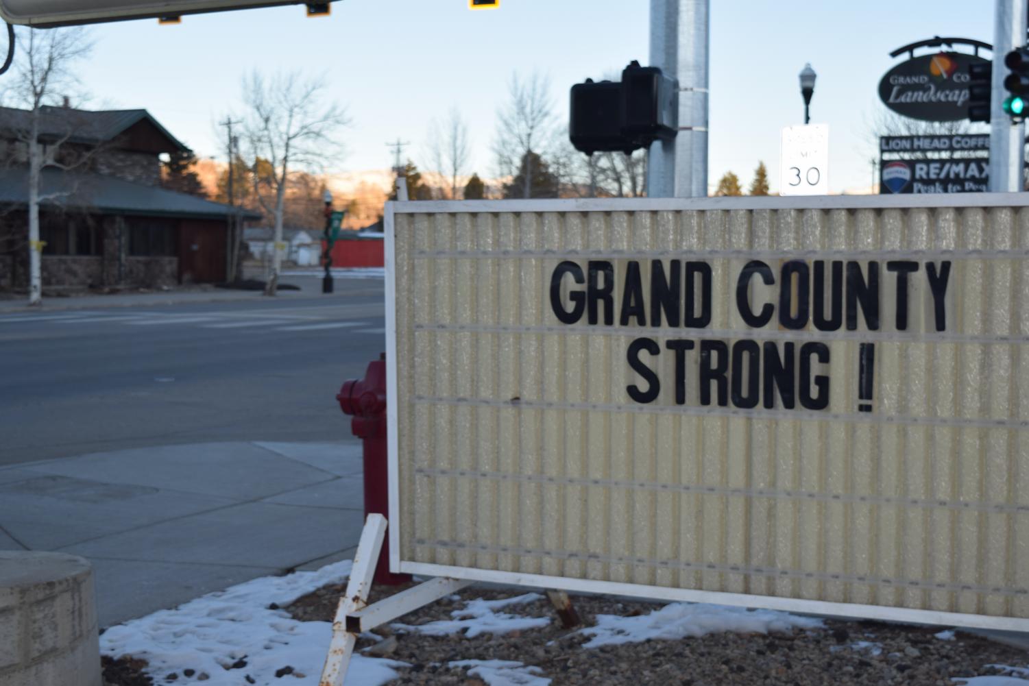
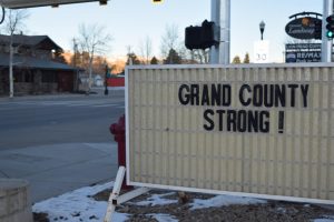
Nearly all of the inhabited areas affected by the East Troublesome Fire were within Grand County. An entire town – Grand Lake – was evacuated, as well as the outskirts of two more towns – Granby and Hot Sulphur Springs – and the remaining areas surrounding Granby, Hot Sulphur Springs, and Tabernash were all placed on pre-evacuation notice. Outside of Grand County, the fire forced evacuations in the western ends of Estes Park and much of the southern parts of Rocky Mountain National Park. (R&J Liquors, Granby, Colorado)
-
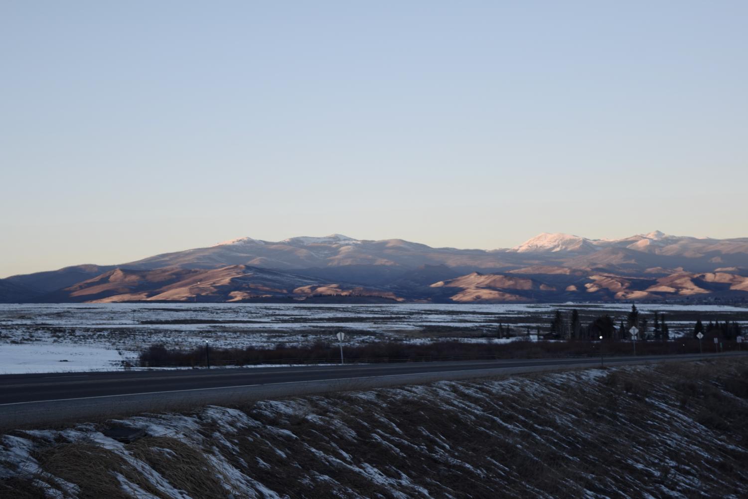
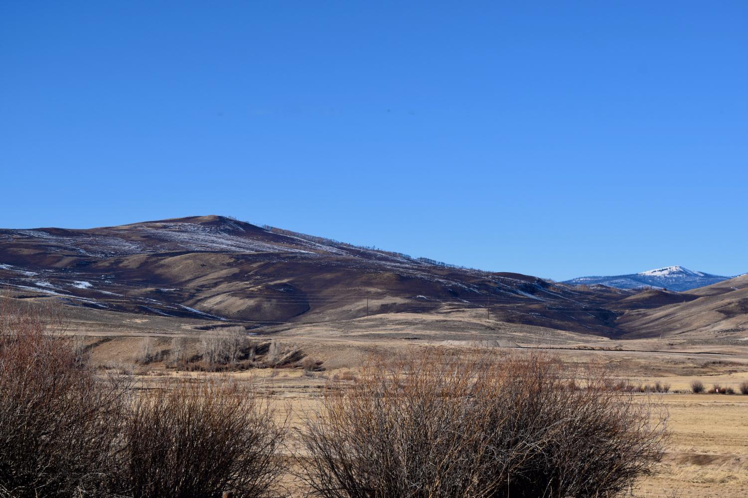
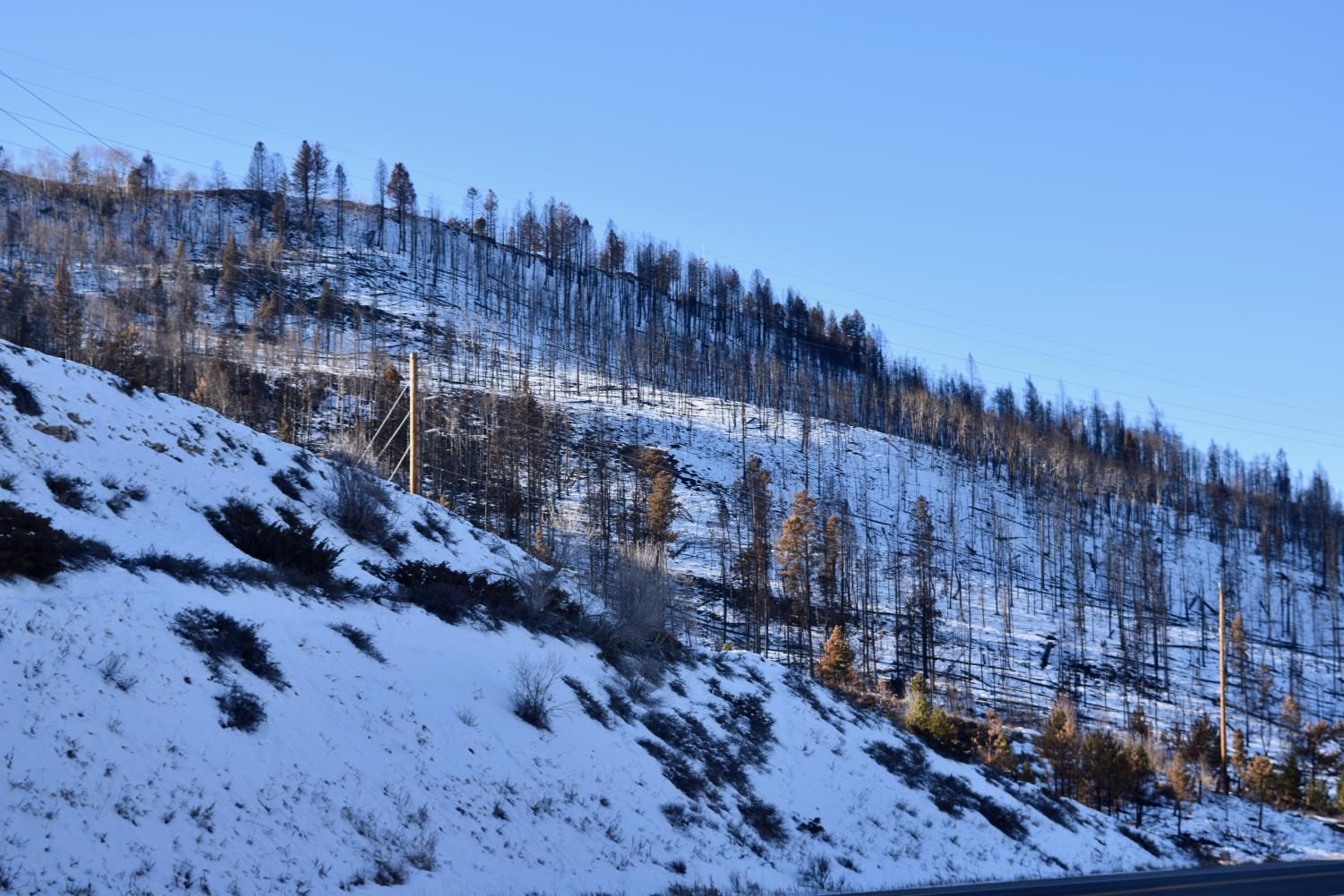
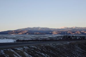
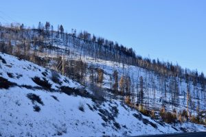
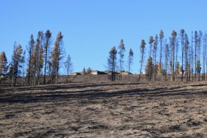
The hills and mountains above Granby, which are largely uninhabited, were completely scorched. The fire just barely reached the Granby city limits and burned mostly brush in this area. (Highway 40, south of Granby)
-
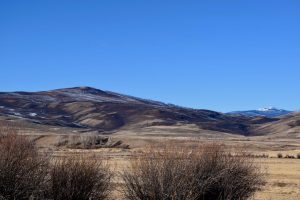
North of Granby, the fire burned through mainly grasses and shrubs before it was stopped just short of the city limits. (Highway 34, north of Granby)
-
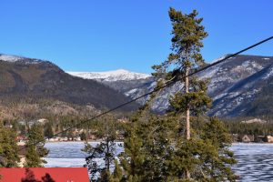
In some areas near Lake Granby, the fire jumped Highway 34 and burned right up to the shoreline of the lake. (Highway 34, along Lake Granby)
-
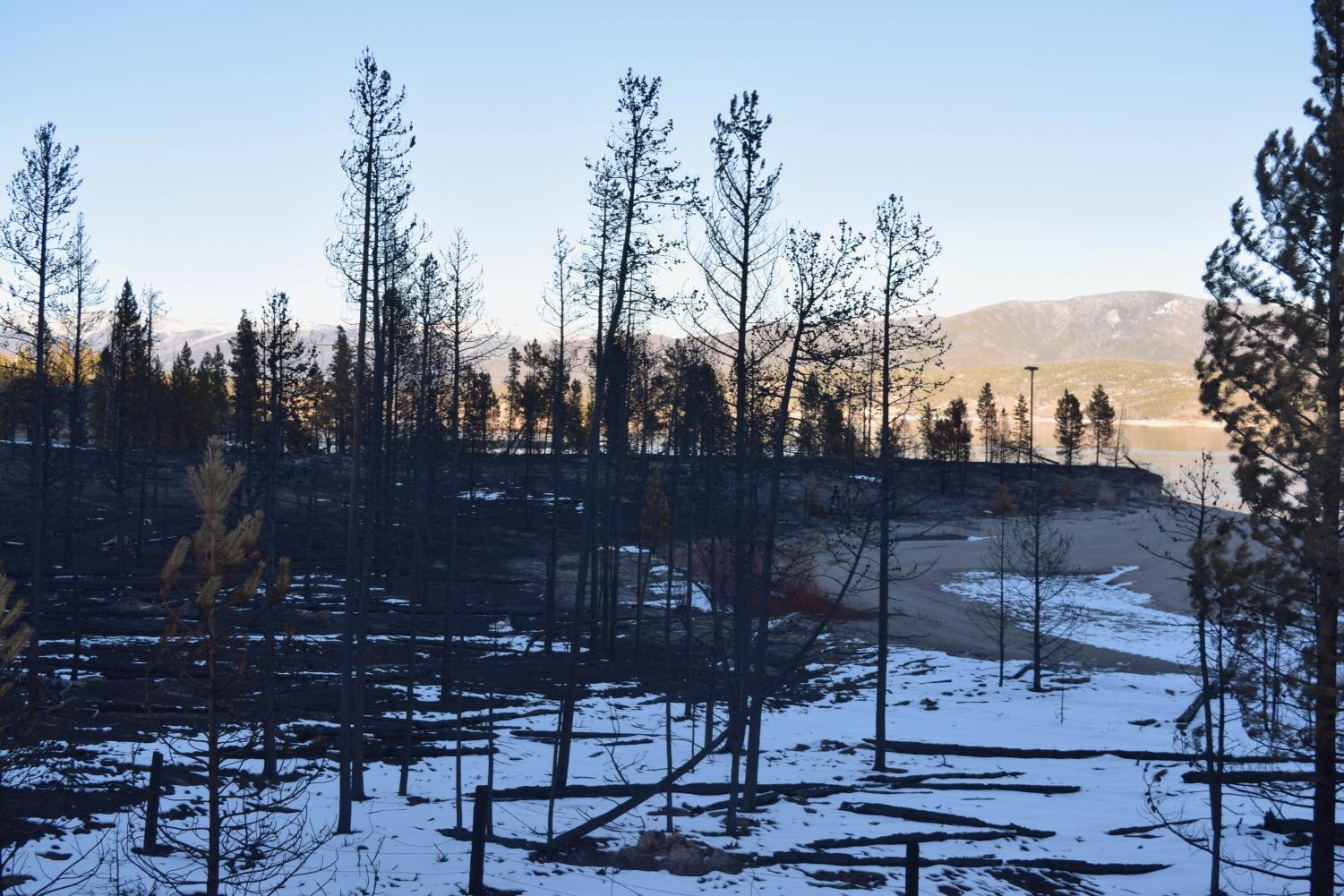
Stretches of shoreline along Lake Granby’s westernmost side were completely burned. Firefighters were able to use the lake as a fireline to prevent the blaze from spreading to parts of Tabernash and Granby. (Lake Granby)
-
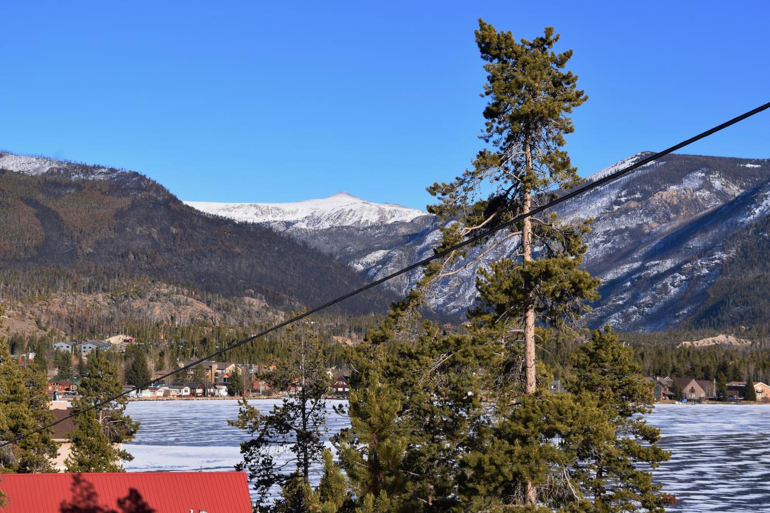
Most of the mountains on the western and northern sides of the city of Grand Lake were scorched. (Grand Lake, Colorado)
-
West of Grand Lake near Columbine Lake
-
West of Grand Lake near Columbine Lake
-
West of Grand Lake near Columbine Lake
-
West of Grand Lake near Columbine Lake
-
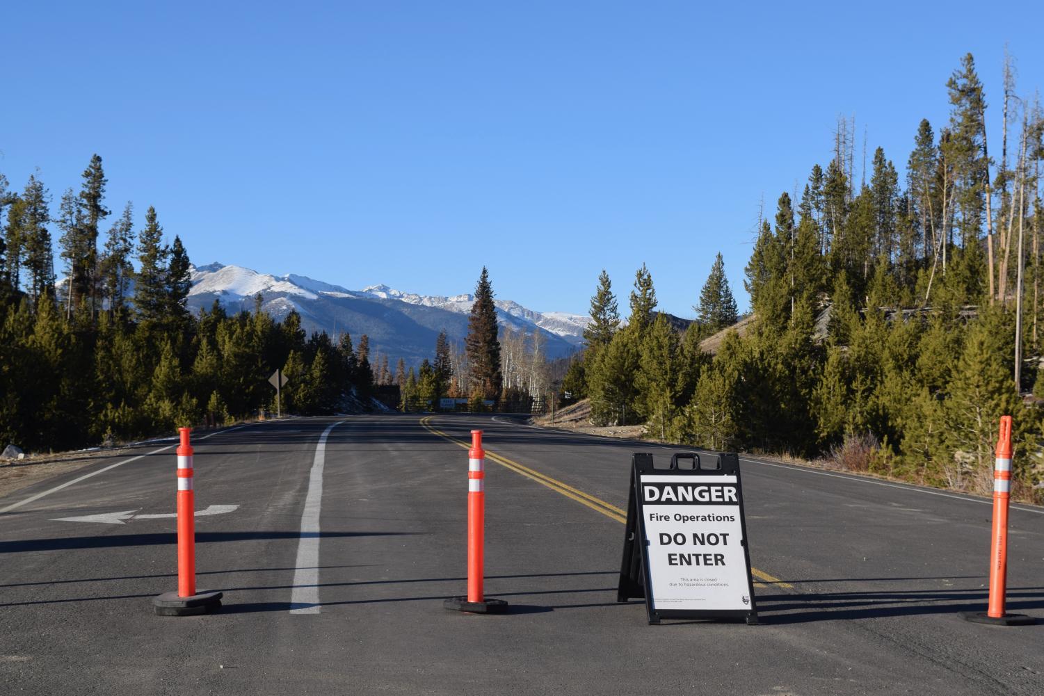
The Grand Lake entrances to Rocky Mountain National Park were closed, as well as Kawuneeche Visitor Center. A smaller park road remained open with access to employee residences (which had mostly been saved from the fire), a singed picnic ground along the Green Mountain Trail, which was virtually gone, and some residences just outside the park. The fire burned both sides of this smaller road. (Trail Ridge Road, west of Grand Lake)
-
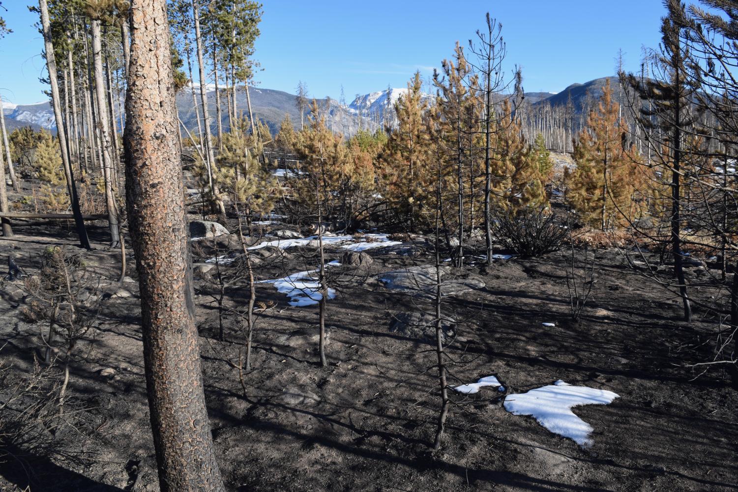
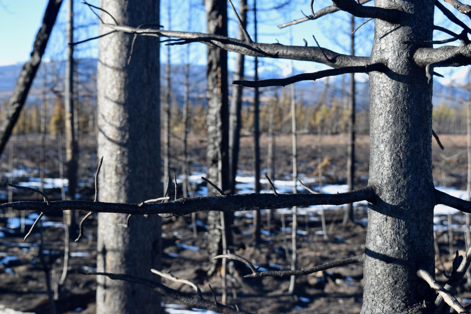
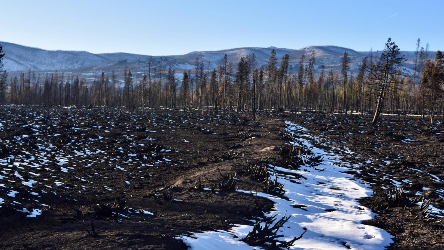
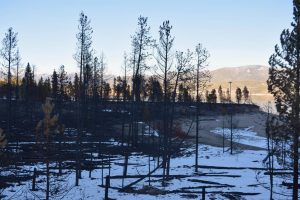
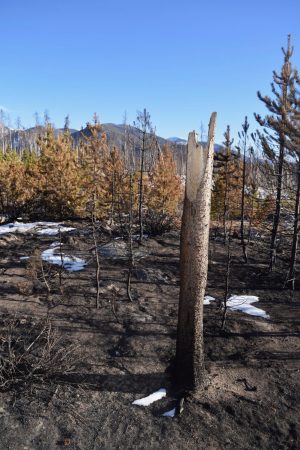
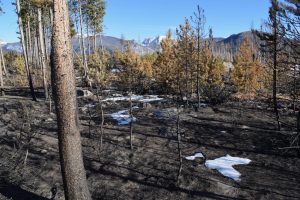
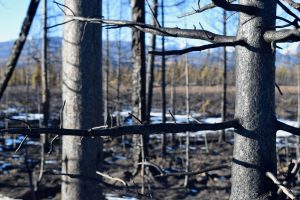
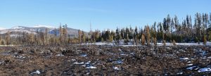
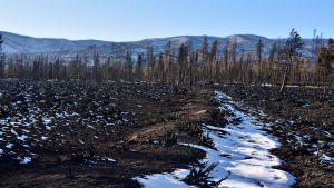
Forested areas along the southern end of Rocky Mountain National Park were almost completely burned. (Green Mountain Trail)
-
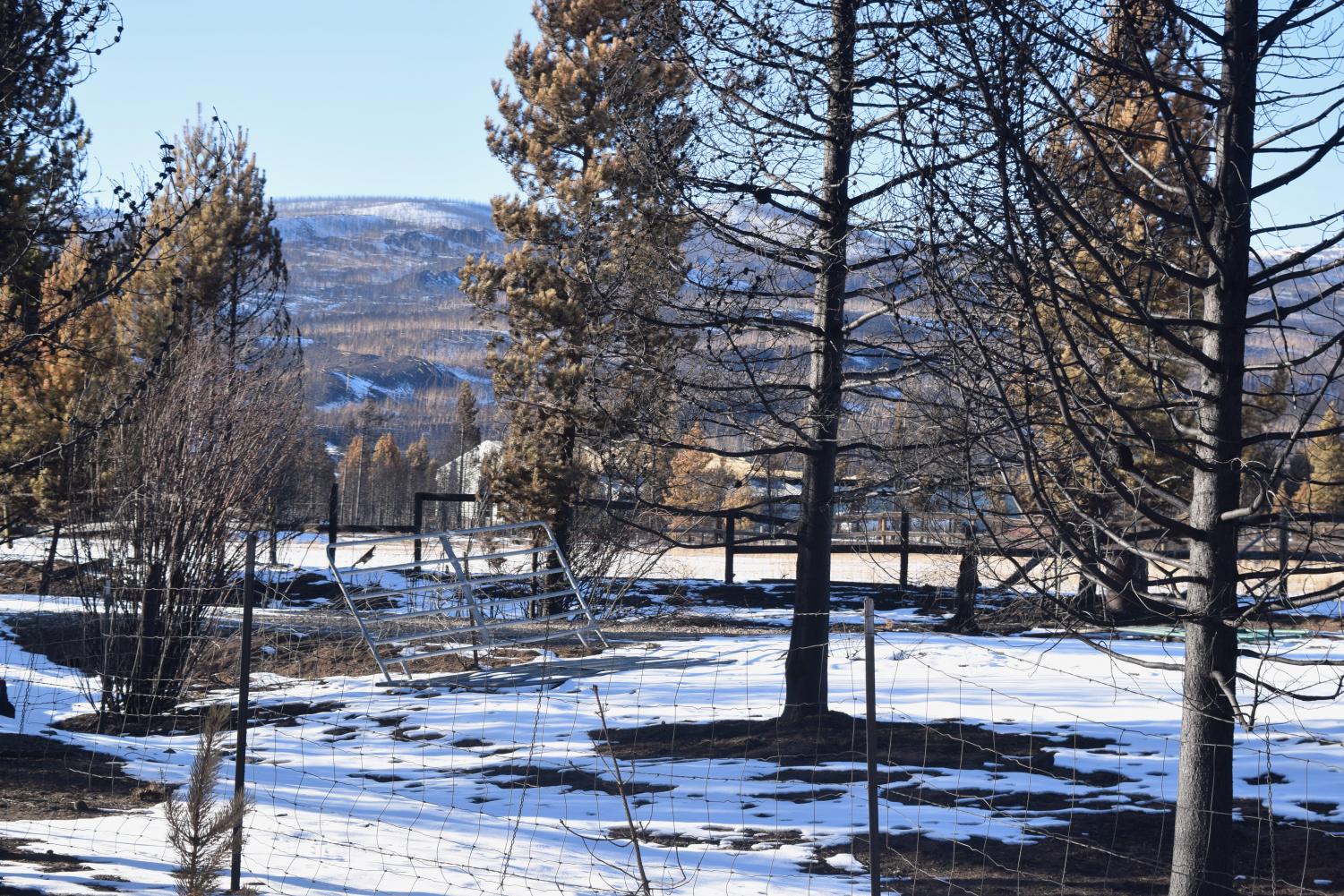
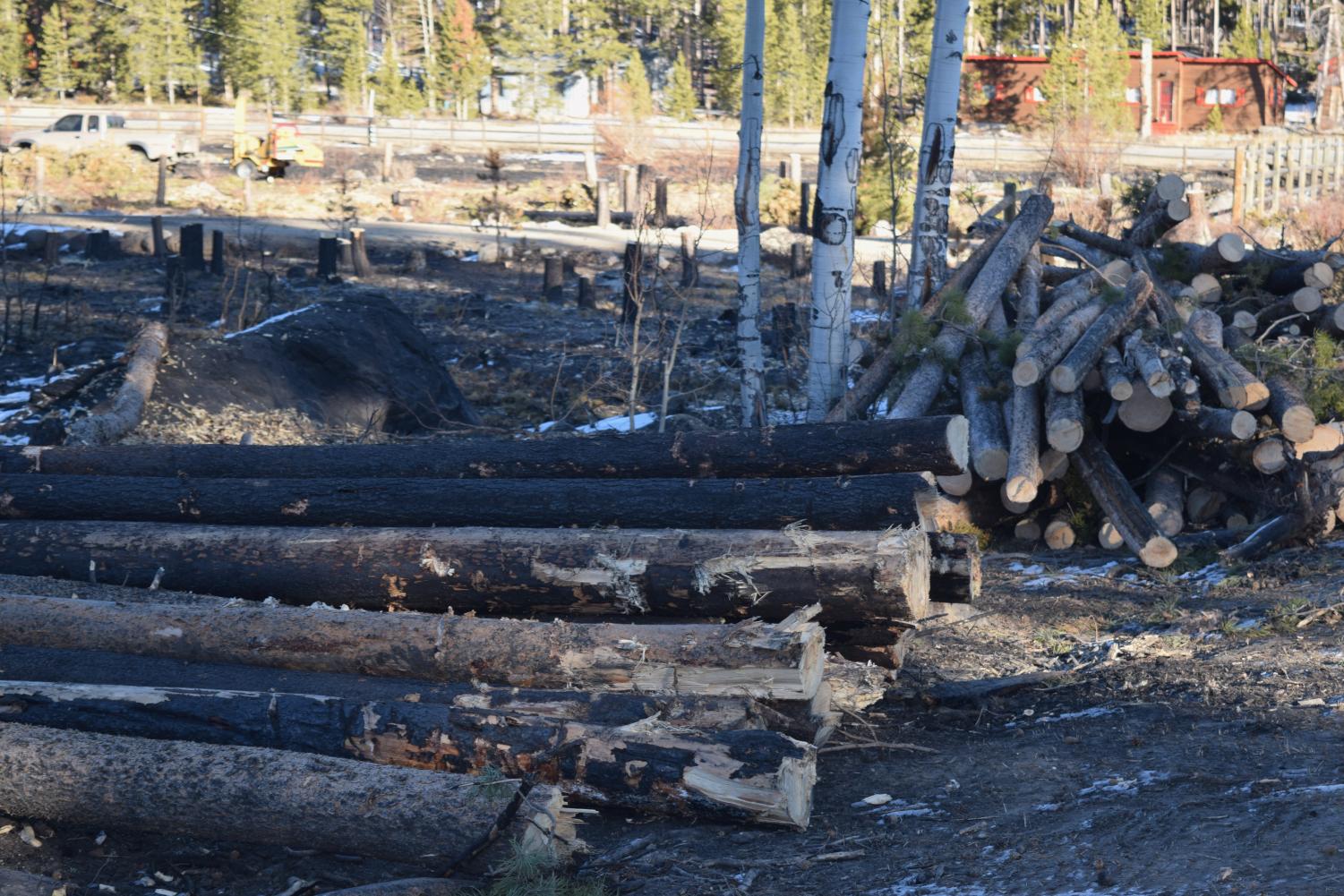
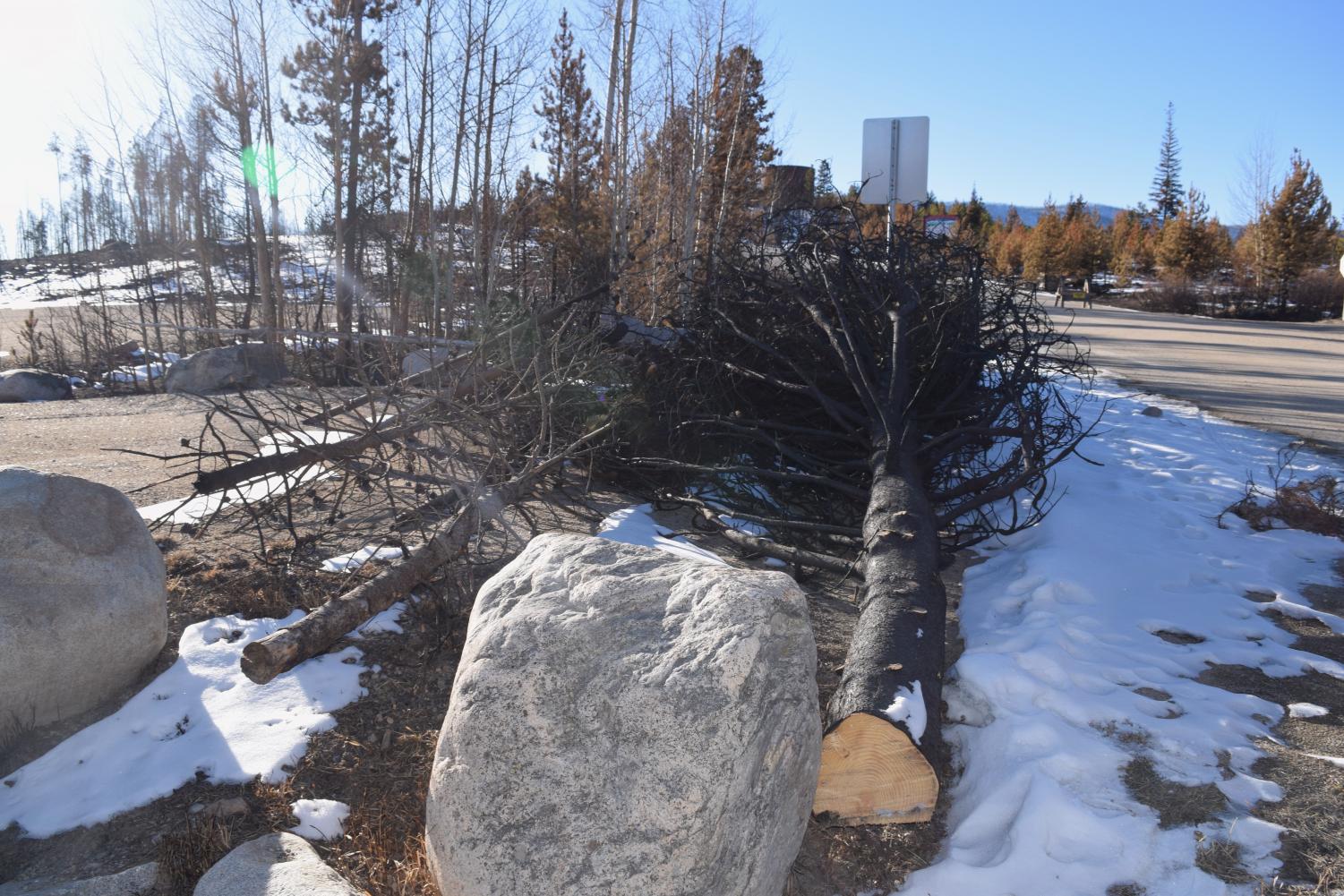
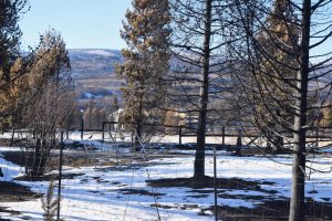
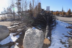
Before the fire reached their land, some homeowners cut down trees around their properties in hopes of stopping the burn before it reached their homes and other structures. Many of these trees were left along the side of the road where they burned away from buildings. This homeowner cut down all trees on their property except a couple right up against the house, which were visibly singed on one side. The house survived. (Columbine Lake, Colorado)
-
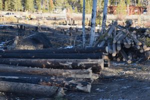
Since the fire retreated, landowners and maintenance crews have begun laboriously removing affected trees. (Columbine Lake)
-
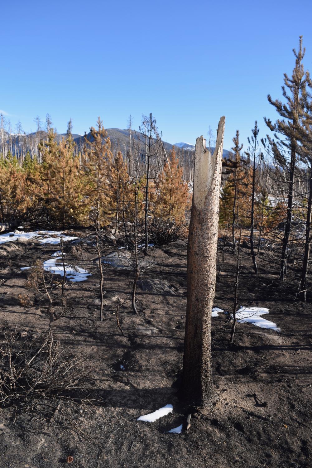
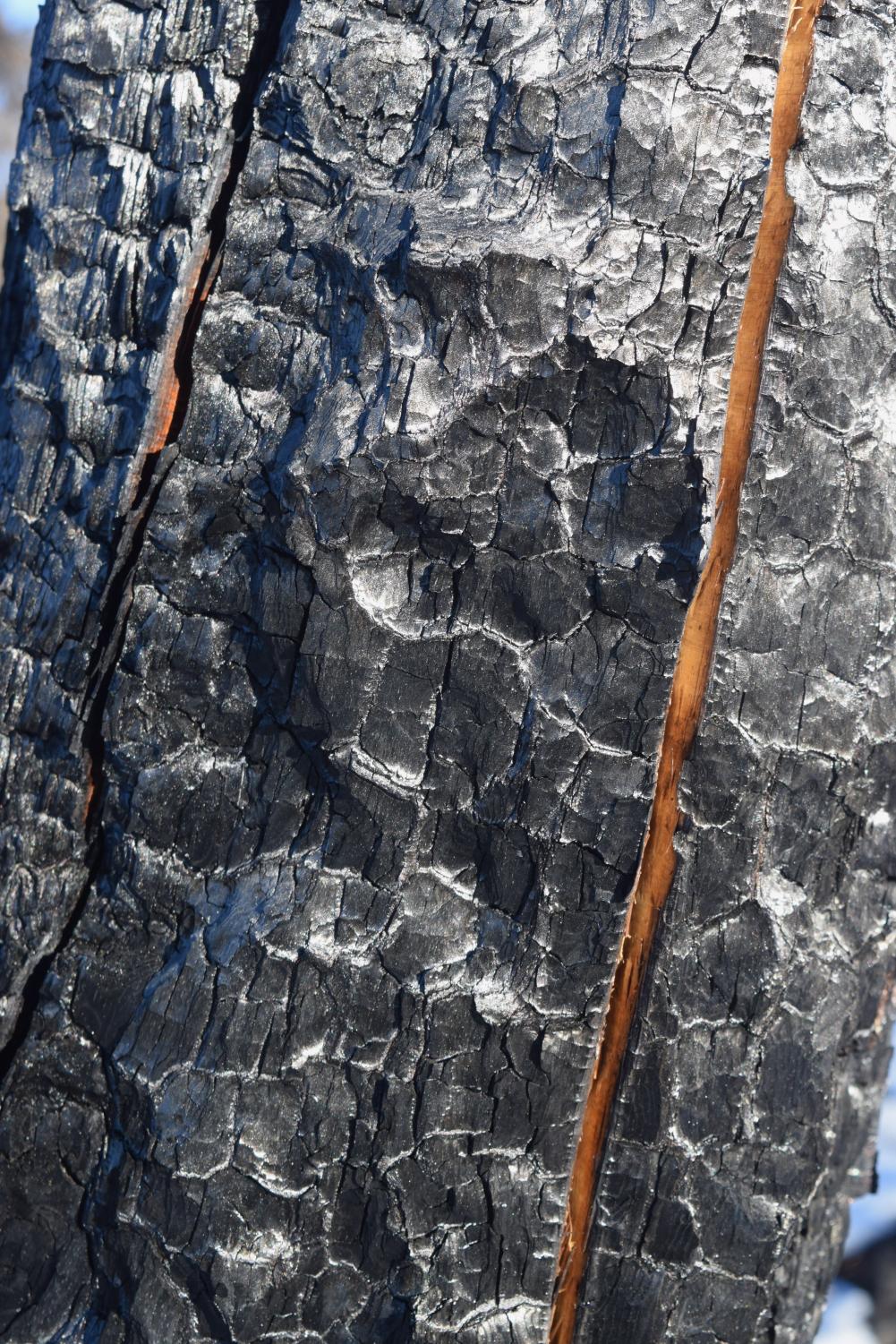
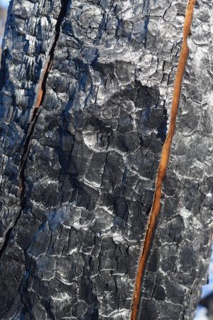
The fire mainly burned the outer layers of the trees, rendering the bark unrecognizable but leaving the inner rings completely raw. (Green Mountain Trail)
-
Burned wetlands left behind skeletons of willow shrubs and evaporated marshes. (Green Mountain Trail)
-
The waterways of the burned wetlands could be traced by the patterns in the snow. Water is completely absent from these areas now. (Green Mountain Trail)
-
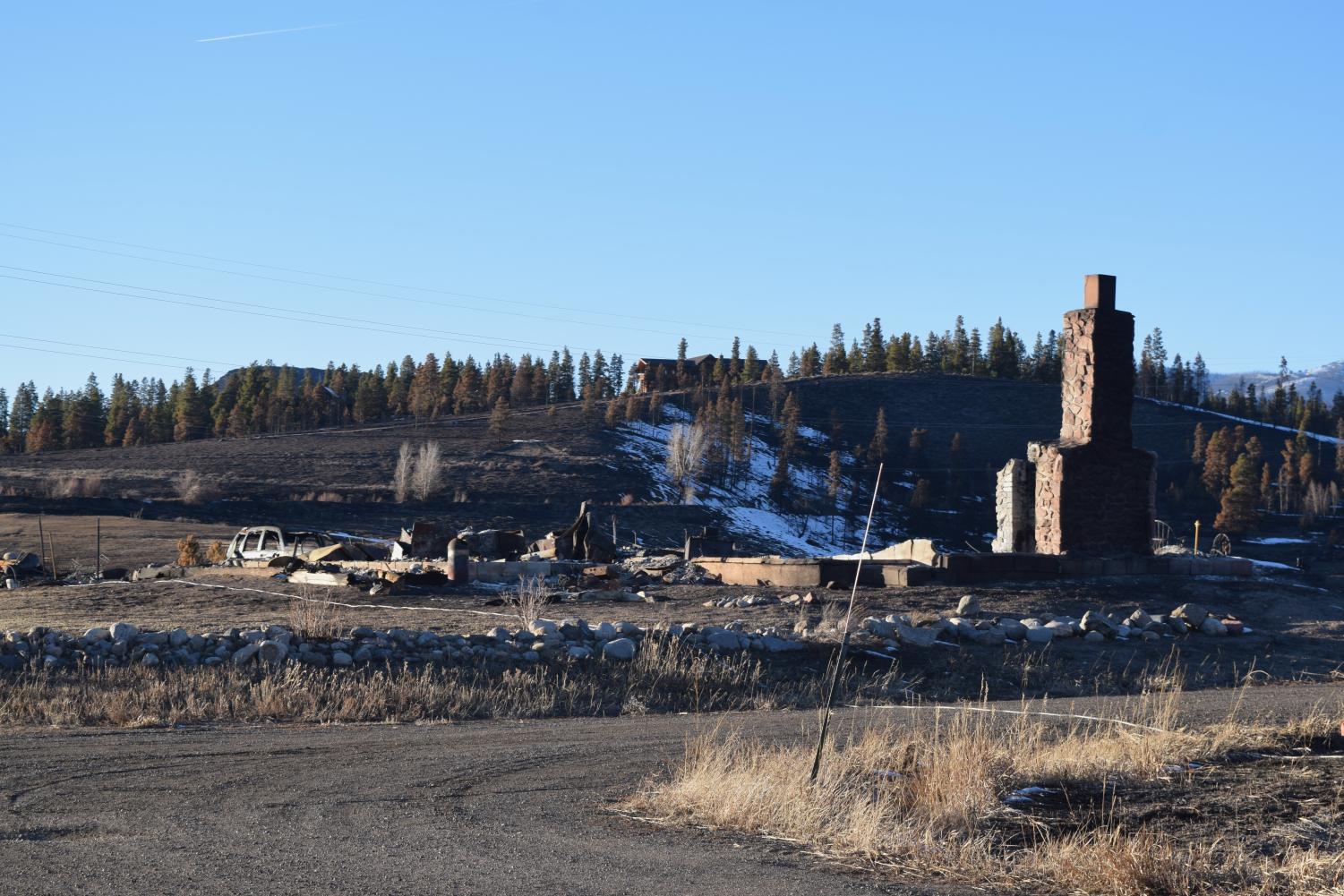
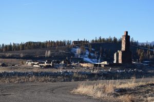
Hundreds of homes were completely burned to the ground, such as this log cabin near Grand Lake, leaving only chimneys, foundations, and skeletons of cars behind. (Highway 34, south of Grand Lake)
-
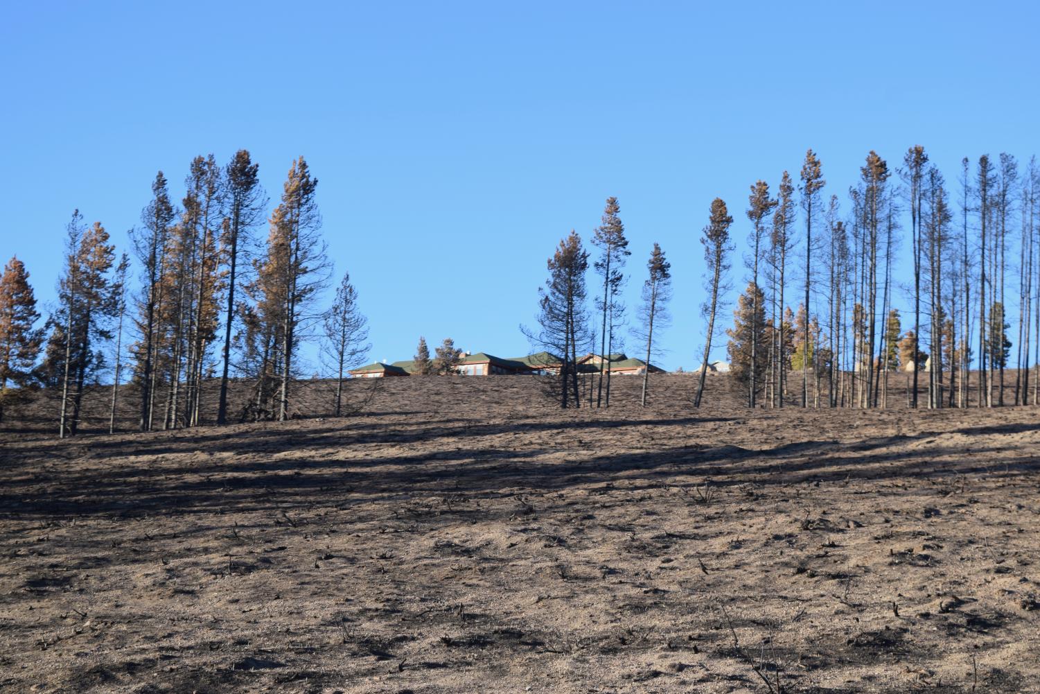
Some homes were saved on the spot by firefighters. Trees and grass on all sides of this home just outside Grand Lake were completely burned, but firefighters’ lucky placement meant that the home itself was saved. (Highway 34, south of Grand Lake)
-
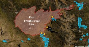
A map of the East Troublesome Fire at its peak. Stars indicate areas photographed in this slideshow. Light blue indicates towns. Red indicates burned areas. Map taken from ArcGIS.
The featured photo in this story won honorable mention News Feature Photo from CSMA.

